
The road to Marfa feels like a story.
You start in a city. The skyline fades. The horizon gets bigger. Then the desert opens like a stage, and the highway turns into a slow, wide ribbon. In this post, we will talk about How to Get to Marfa, Texas.
You keep going. The radio drifts out. The sky grows taller. You roll the windows down and breathe air that smells like sun and dust.
That is when you know you are close.
Getting to Marfa takes effort. It takes time. It is worth every mile.
A Quick Orientation
Marfa sits in far West Texas, high in the Chihuahuan Desert. You will find it between Big Bend National Park and El Paso, with long stretches of quiet land in every direction.
Here are the average drive times to help you plan:
- El Paso → Marfa: about 3 hours (≈190 miles)
- Midland/Odessa → Marfa: about 3 hours (≈180 miles)
- Austin → Marfa: about 6.5 hours (≈430 miles)
- San Antonio → Marfa: about 6 hours (≈400 miles)
- Dallas → Marfa: about 8 hours (≈520 miles)
So yes, it is remote. That is the point. The journey is part of the experience.
How to Get to Marfa, Texas
By Car (Most Popular Way)
Marfa is a road trip town. There is no major airport next door. No fast train. The road is the way.
The good news. The drives are beautiful. The routes are simple. The desert does the rest.
From El Paso
Take Interstate 10 east toward Van Horn. Then drop down on U.S. Highway 90 and cruise through Valentine. You will pass long fences, jagged mountains, and a horizon that never seems to end. If you have time, stop near Valentine to see Prada Marfa, the famous desert installation that looks like a luxury boutique dropped from the sky. Snap a photo. Soak up the silence. Then keep going.
From Austin or San Antonio
Head west on I-10. You will pass the Hill Country, wind farms, and long runs of open land. At Fort Stockton, turn south or southwest to meet U.S. 90. The traffic thins. The sky gets big. The last stretch into Marfa feels like a meditation.
From Midland/Odessa
Take I-20 west for a bit, then dip south on U.S. 67 through Alpine or Fort Davis. This route rolls through ranchland and into the Davis Mountains, with plenty of spots to pull over and breathe.
What You Will See
Expect mountain views, small desert towns, and photo-worthy pullouts. The Davis Mountains rise to the north. The land opens like an ocean of grass and stone. Trains slide by on far tracks. The light is sharp and clean.
Road Trip Basics
- Rent a reliable car. Good tires help on long, hot stretches.
- Start with a full tank. Gas stations can be rare between towns.
- Bring water and snacks. Everything feels farther in the desert.
- Download maps. Cell service fades fast once you leave the cities.
- Drive in daylight if you can. Views are better. So is safety.
You will know you are getting close when the highway feels like a movie set and the mountains in the distance look painted on.
By Air
You can fly part of the way, then finish the trip by road. That combo saves time and keeps the romance of the drive.

Closest Commercial Airports
- El Paso International Airport (ELP) — about 3 hours west of Marfa by car. Plenty of flights, easy rentals, and a straight shot on I-10.
- Midland International Air & Space Port (MAF) — about 3 hours northeast. Good for travelers coming from Dallas or Houston with regional connections.
- Alpine–Casparis Municipal Airport — for private or small planes. It is about 25 minutes from Marfa by car.
Rental Car Tips
Book your car at the airport. Choose unlimited mileage if you plan to roam Big Bend or Fort Davis. Ask for a vehicle with Apple CarPlay or Android Auto, or bring a mount and your own map downloads.
Early arrivals are smart. That way you can enjoy the drive in daylight and still make a sunset drink in Marfa.
Read:Unique Stays in Marfa: Glamping, Airstreams, and Desert Motels
By Train (Amtrak)
Yes, you can ride the rails to the desert. It is slow. It is scenic. It feels like a throwback in the best way.
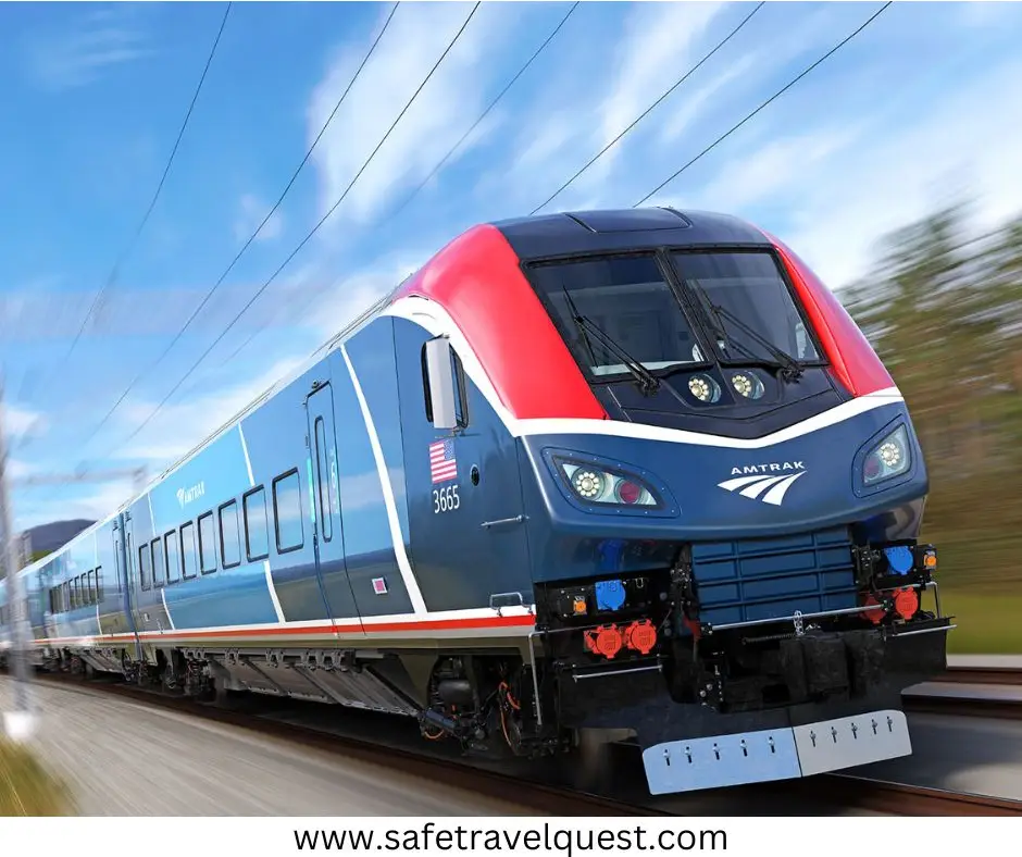
Amtrak’s Sunset Limited runs between Los Angeles and New Orleans. The nearest stop is Alpine, Texas, which sits about 25 minutes from Marfa.
From Alpine, you can rent a car, call a local shuttle, or link up with friends finishing the drive.
Schedules are limited. Trains can run late. But the views — wide plains, long mesas, far horizons — are worth the patience if you like the romance of the rails.
By Bus
Buses reach the region too, especially if you are on a budget or traveling solo.
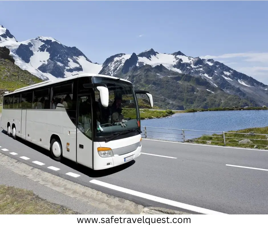
- Greyhound serves Alpine, then you connect by car or shuttle to Marfa.
- Regional services like Groome Transportation operate in West Texas corridors that may include the Alpine–Marfa route. Schedules shift by season, so check before you plan.
It is slower than driving yourself, but it gets you close for less.
Scenic Road Trip Ideas
Make the drive part of the story. Here are three easy routes with simple stops and wide-open views.
Route 1: El Paso → Marfa
Leave El Paso on I-10, then angle southeast to U.S. 90. The mountains hover to your left like a low wave. The land opens.
Stop 1: Sierra Blanca for a stretch. It is tiny, but the sky above it goes on forever.
Stop 2: Valentine for Prada Marfa. Park safely on the shoulder. Take your time. The best photos use the emptiness as the frame.
Pull into Marfa by late afternoon and watch the downtown sidewalks glow. Drop your bags, then walk to a patio for dinner.
Route 2: Austin → Marfa
Roll west through the Hill Country on I-10. The land folds and unfolds like a quilt.
Stop 1: Junction or Sonora for fuel, snacks, and a breather by the river.
Stop 2: Fort Stockton to reset before the last stretch. Grab a coffee. Take a quick photo at the giant roadrunner or the historic hotel sign.
Final leg: Follow U.S. 90 toward Alpine and Marfa. The desert takes over. The sky seems to double in size.
You will feel time slow as you pass mile markers with nothing else around. It is part of the magic.
Route 3: The Big Bend Loop
Already in Marfa? Turn your travel day into a circle through the national park and the mountains.
Marfa → Terlingua → Big Bend → Fort Davis → back to Marfa.
Take U.S. 90 to Alpine, curve south to Terlingua, then roll into Big Bend National Park for canyon views and river bends. On the way back, climb toward Fort Davis for a mountain sunset.
It is a full day, but the scenery never quits. The road feels like a film reel. You wind up back in Marfa with dust on your boots and stars overhead.
Read More: Best Hotels in Terlingua Texas : Where to Stay Near Big Bend
Tips for Travelers
- Top off your tank in major towns before you push into the desert.
- Pack water, snacks, and a playlist. Radio stations vanish between towns.
- Expect little or no cell service across long stretches. Offline maps help.
- Drive in daylight when possible. Beautiful views plus easier navigation.
- Mind the weather. Summer heat is dry but strong. Winter nights can nip.
- Watch for wildlife near dawn and dusk. The road belongs to more than cars.
- Share your route with someone if you plan late arrivals or detours.
The desert is friendly if you plan ahead. It is less friendly if you wing it.
Accessibility Notes
Roads to Marfa are paved and well-marked, but the distances are real. Services thin out between towns. Drivers who enjoy long, quiet stretches will love it.
Once you arrive, Marfa is compact. You can walk much of downtown. Bikes work well too. Parking is easy. Sidewalks are wide. The pace is slow by design.
What the Last Miles Feel Like
You will pass a ranch gate with no house in sight. A single windmill turns. A freight train cuts the horizon like a steel line.
Then the road lifts over a small rise, and Marfa appears — low and pale against all that blue.
You do not race the last mile. You coast it. That is the point.
Sample Arrival Plans
Fly + Drive from El Paso
Land before noon. Pick up your rental. Grab highway snacks. You will reach Marfa by golden hour with time to check in, change shoes, and stroll to dinner.
Rail Romantic from Los Angeles or New Orleans
Take Amtrak to Alpine. Watch the windows fill with desert. Step down onto a small platform that smells like creosote after sun. Rent a car for the last half hour. Arrive with the calm that only trains give.
Budget Bus + Friend Pickup
Ride Greyhound into Alpine. A friend scoops you up with iced coffees in the cup holders. You talk the whole way to Marfa. It feels like summer camp for grown-ups.
FAQs
What is the nearest airport to Marfa?
El Paso International Airport (ELP) and Midland International Air & Space Port (MAF) are the closest major airports, both about three hours away by car. Private planes can use Alpine–Casparis.
Is there public transportation to Marfa?
Not direct. Amtrak and Greyhound reach Alpine, 25 minutes from Marfa. From there, rent a car or arrange a local shuttle.
How far is Marfa from Big Bend National Park?
Roughly 108 miles to the park entrance, depending on which gate. Plan two hours to the boundary and more time to reach trailheads and canyons.
Can you visit Marfa without a car?
You can arrive by train or bus to Alpine, then shuttle in. But a car makes the trip easier, especially for art sites outside downtown and day trips to Fort Davis, Terlingua, or Big Bend.
Is the drive to Marfa safe at night?
Yes, but daylight is better. Roads are dark. Cell service drops. Wildlife moves at dawn and dusk. If you must drive late, slow down, stay alert, and plan fuel stops ahead of time.
A Personal Note
The first time I drove to Marfa, my playlist gave out to static. I let the quiet in.
Miles later, I pulled over beside a fence line and just stared. There was nothing in front of me but sky. The smell of warm earth and creosote hung in the air. For a minute I forgot the clock.
That is how this drive works. It scrubs the noise off your day. By the time you roll into town, you feel ready for whatever the desert wants to show you.
Final Thoughts
Reaching Marfa feels like crossing into another world. Slower. Quieter. Almost dreamlike.
The highways are long, but the roads are kind. The trains move steady. The sky does most of the work.
So pack a good playlist. Bring snacks. Fill the tank.
Roll down the windows and let the desert guide you to Marfa — where the journey is half the magic.

I am a passionate writer who creates engaging, creative, and meaningful content that informs, inspires, and connects with diverse audiences.